FAIR-GNSS results were presented and discusssed in a research article Enhancing FAIRness of GNSS RINEX data: A metadata-driven approach
published in GPS Solutions (also available here).
- Home
- Timeline
FAIR-GNSS results were presented and discusssed in a research article Enhancing FAIRness of GNSS RINEX data: A metadata-driven approach
published in GPS Solutions (also available here).
The results of the FAIR-GNSS project were presented at the EOSC Belgian Tripartite event in Brussels.
A report about the FAIR-GNSS activties from March 2022 to until the end of the project in 2023.

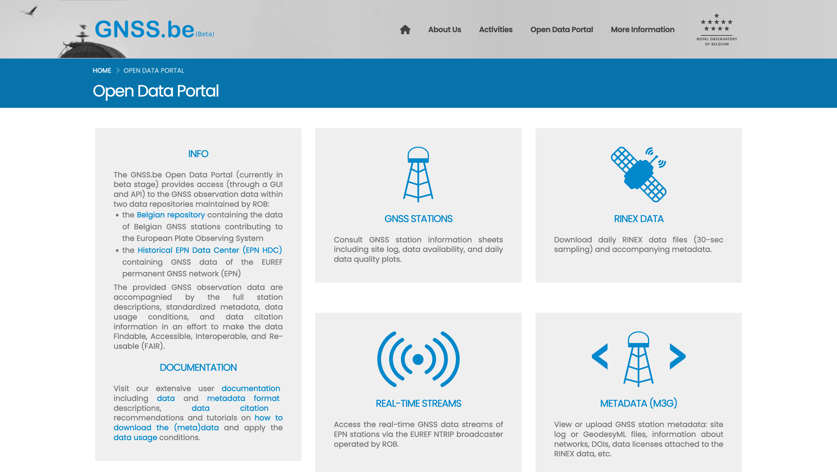
Public facing Open data portal providing access (web interface & API) to the (meta)data of the Belgian GNSS data repository, which contains the data of Belgian GNSS stations contributing to EPOS, and the Historical EPN Data Center (EPN HDC) hosting GNSS data of the EUREF permanent GNSS network (EPN).
Discussions with the members of the follow-up committee focused on the proposal for assigning DOI to GNSS data, the work devoted to the restructuring of the GNSS data repository, and the overall progress of the project.
The FAIR-GNSS team organized a webinar to give a hands-on introduction to FAIR data principles and showcase a practical implementation of the FAIR principles guidelines in the context of the FAIR-GNSS project.
Within the splinter meeting Towards FAIR GNSS data
of the EUREF Symposium 2022, presentations by the FAIR-GNSS team ("Towards FAIR GNSS data") and K. Elger, chair of the GGOS WG on DOIs.
The FAIR-GNSS team presented Proposed metadata standards for FAIR access to GNSS data
(slides here) within the EGU 2022 ESSI2.3 session.
FAIR-GNSS activities and proposals mentioned during the GGOS Coordinating Board Meeting (slides here).
A short report about the project's activties from March 2021 to March 2022.
We have drafted a proposal for standardized metadata (GNSS-DCAT-AP) to be attached to GNSS RINEX data when they are e.g. downloaded from a GNSS data repository using web services. The proposal and its documentation are publicly available on a GitHub repository.
An occasion for an overview on the status of the project. Discussions with the members of the follow-up committee focused on the overall progress and on the work on GNSS data preparation (data inventory, restructuring of the databases, etc.) and the proposals for GNSS metadata.
The text of the FAIR-GNSS proposal for GNSS station metadata (extended GeodesyML) is now under discussion with the GeodesyML task force of the IGS infrastructure committee and is publicly available in a GitHub repository of ROB's GNSS team.
A report on the process of selecting metadata standard(s) for GNSS data, containg the proposals for GNSS station metadata (extended GeodesyML) and GNSS RINEX files metadata (extended DCAT-AP).
As a preliminary step in the process of selecting metadata standard(s) for GNSS data, an inventory of the data hosted in ROB's repositories has been created to structure the data information and identify potential and relevant metadata items.
Internal discussions about DOI (granularity) and system handles (e.g. RDA’s WG “PID for instruments”) for GNSS data and meeting with K. Elger, chair of the GGOS WG on DOIs
The FAIR-GNSS project proposal has been submitted as a bottom-up proposal for BELSPO BRAIN-be 2.0 Pillar 2 "Heritage Science" call.
As funders and research policy makers are progressively asking to turn or make data FAIR, there are specific challenges when dealing with GNSS data. At the EGU General Assembly 2020, our team at ROB discussed about GNSS station metadata revisited in response to evolving needs and challenges and open problems when applying FAIR principles to GNSS data